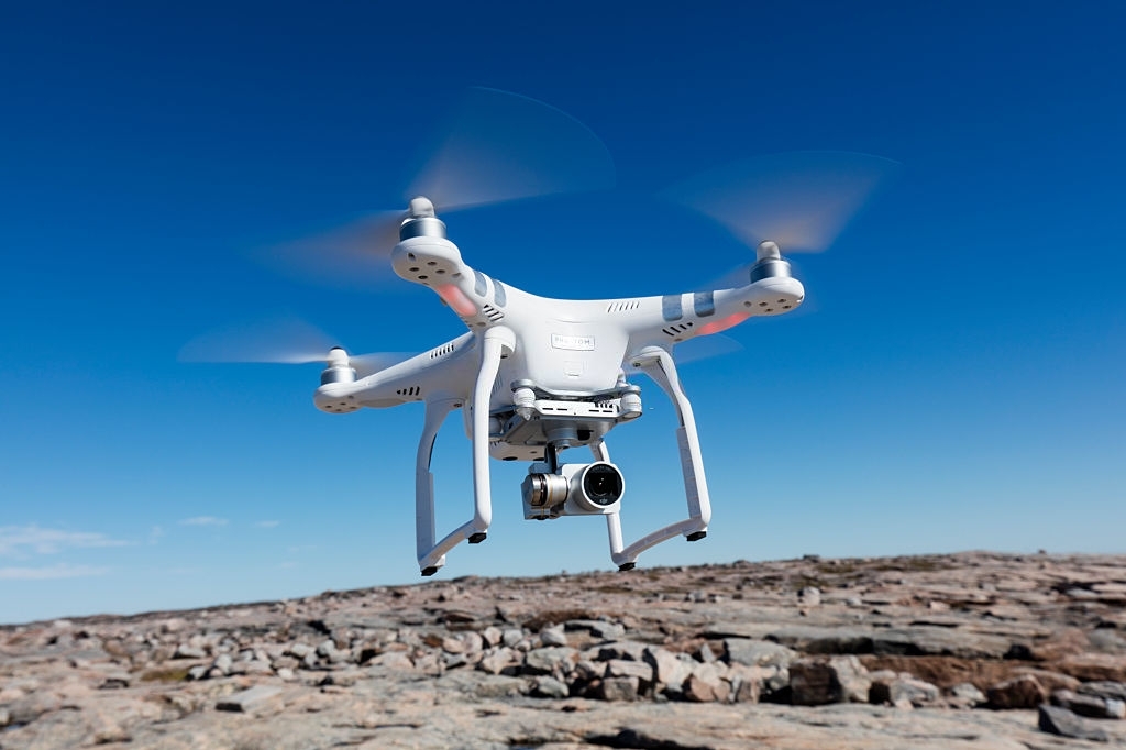
Aerial Surveying (UAV)
Our UAV (Unmanned Aerial Vehicle) division provides customised aerial services to the specialised requirements of numerous projects. We are a CASA certified UAV Operator and member of Australian Certified UAV Operations Inc.
UAV services complement our traditional survey practices, extending to provide optimised solutions for mining, agriculture, construction, topographic mapping and emergency and disaster management. Our capabilities include:
- Aerial Orthomosaic and perspective imagery
- Survey Quality Digital Surface Models and 3D Modelling
- Rapid Terrain Mapping Solutions
- Accurate Digital Elevation Models
- Topographic Mapping
- Environmental and High Wall Monitoring
- Video and Imagery inspection of infrastructure and services.
- Thermal imaging with Certified Thermographer
Aerial Surveying offers a fast and simple method to transport and deploy information throughout the country. This technology enables us to cover large and detailed areas efficiently and cost effectively, allowing us to survey ‘high risk’ or inaccessible areas from a safe distance whilst providing a rapid turnaround of data.
Drone Photography Services And Drone Surveying
Drone photography services have emerged as a game-changer across various industries, offering a bird’s-eye perspective that traditional photography methods can’t match. These services utilise unmanned aerial vehicles (UAVs) equipped with high-quality cameras to capture aerial images and videos. From agriculture and construction to disaster and emergency management, drone photography has become an invaluable tool for businesses seeking innovative ways to showcase their projects.
Among the diverse applications available through drone usage, drone surveying stands, leveraging the capabilities of drones to collect precise and comprehensive data. Equipped with advanced sensors and cameras, drones can conduct efficient surveys of landscapes, construction sites, and infrastructure with remarkable accuracy. This technology is particularly instrumental in mapping, terrain modelling, and monitoring project progress. Drone surveying offers a faster and more cost-effective alternative to traditional surveying methods, reducing the time and resources required for data acquisition.
In situations that include construction and disaster and emergency management, drone surveying enables professionals to monitor sites remotely, enhancing safety by minimising the need for manual inspections in hazardous environments.
Additionally, the data collected through drone surveys facilitates the creation of detailed 3D models, aiding in planning and decision-making.
Overall, drone photography services, with a special emphasis on drone surveying, have ushered in a new era of efficiency, safety, and precision in data collection and analysis across diverse sectors, proving to be indispensable tools for businesses and organisations.
For more information about how our aerial surveying and drone photography can help you please give us a call on +61 7 3287 7818 or send us a message through our contact page.