The Difference Between Quality Levels A, B, C & D for Subsurface Utility Locating
On projects involving excavations, infrastructure development and certain forms of construction, it’s absolutely essential that all underground utilities are accurately located. This is both an integral safety measure and a vital part of the planning process, as it may affect which methods of digging or hydro excavation are most suitable. It can even be used to update and manage records for future use.
There are four recognised quality levels (QL) of information for subsurface utility locating, ranging from Quality Level A (highest) through to B, C and D (lowest). These levels help project managers identify how much information is sufficient to begin accurately planning and profile mapping with full regard to risk management.
Quality Level D
QL-D is the most basic form of information available. Usually relies on verbal recollections and existing utility records such as geographic databases, construction plans and distribution maps, and is often used for route selection and project planning.
Quality Level C
Takes QL-D information and correlates it with a survey of any visible above-ground utility facilities such as valve boxes, fire hydrants, meters and manholes to gain a more detailed picture of subsurface utility locations.
Quality Level B
Applies Subsurface Utility Engineering (SUE) to determine existence and horizontal position of utilities through geophysical methods. The results are then surveyed with support from any C and D-level information that is available.
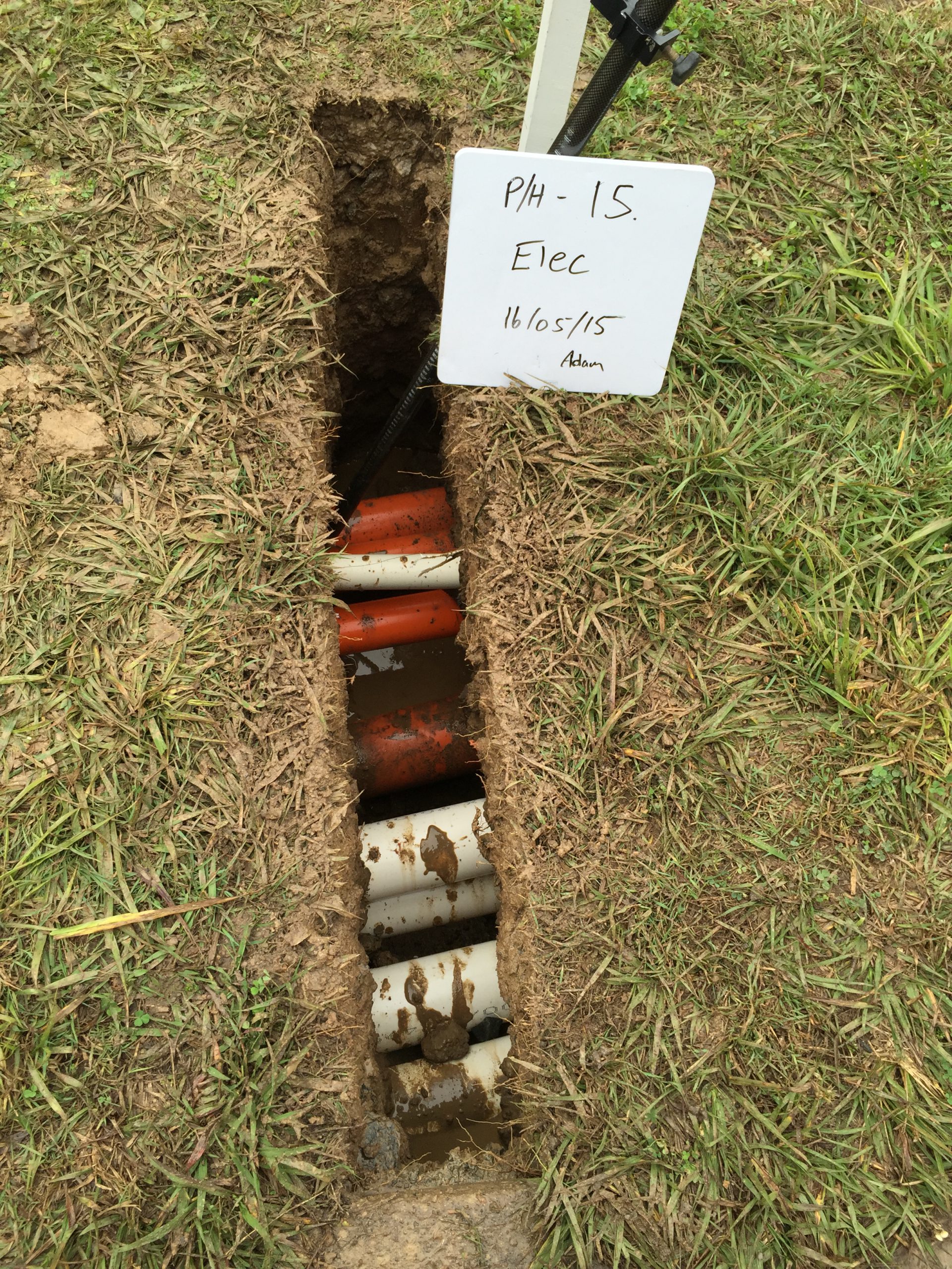
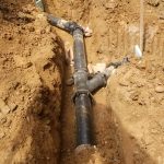
Quality Level A
The most accurate form of information for subsurface utility locating. Also known as “daylighting”, QL-A adds to levels B, C and D by exposing subsurface utilities and specifying the type, material, condition, size and other relevant characteristics along with horizontal and vertical positioning. This is usually achieved through hydro-vacuuming or digging, and allows for precise planning and profile mapping.
Application of these standards depends on the nature of the project
Despite being the most accurate level of information for subsurface utility locating, QL-A is not necessarily practical for all stages of a project. Rather than applying a QL-A standard at every point of a utility’s path, a combination of QL-A, B, C and D is used depending on the size and scope of the project and the level of risk management required.
Backed by information of sufficient accuracy, projects can be effectively planned, undertaken and completed without any safety hazards or costly damage arising as a result of interference with subsurface utilities.
Related Posts
Subsurface Utility Engineering (SUE): Reducing Risk and Improving Projects
Construction and infrastructure projects across Australia face numerous challenges, from managing budgets and timelines to ensuring safety and minimising disruptions.
Read more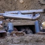
PUP Underground Locating: Essential for Safe Excavation
Excavation is a necessary activity which ranges from large infrastructure projects to smaller residential works.
Read more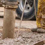
Non-Destructive Digging: The Safe and Efficient Way to Excavate
Traditional excavation methods, involving heavy machinery and extensive digging, often pose significant risks to underground utilities, the environment, and worker safety.
Read moreTalk with us today to find out more
Please call and speak with one of our friendly members of staff or send us an email using our contact form